Green Blog
A better web. Better for the environment.
A New Geothermal Map of the United States
10/25/11
Imagine a renewable energy resource capable of producing more than 10 times the energy of the installed capacity of coal in the US. That’s the potential for Geothermal Energy in the United States, according to a recently completed 3-year project supported by Google.org to update the
Geothermal Map of North America
.
The study conducted by
SMU Geothermal Laboratory
, led by Principal Investigator
Dr. David Blackwell
, incorporated tens of thousands of new thermal data points to create the most data rich perspective on US geothermal resources to date. The full results can be seen in the updated
Google Earth layer
on U.S. Geothermal Resources and in SMU’s paper to be presented at the
Geothermal Resources Council
Annual Meeting.
The project estimates that Technical Potential for the continental US exceeds 2,980,295 megawatts using Enhanced Geothermal Systems (EGS) and other advanced geothermal technologies such as Low Temperature Hydrothermal.
2011 Geothermal Heat Flow Map of the US
The new estimates are compliant with the new global geothermal mapping protocol developed by
SMU
,
Hot Dry Rocks PTY
,
GeoWatt Ag
, and
Google.org
which is now recognized by the
International Energy Agency
and the
International Geothermal Association
. Under the protocol, Technical Potential is limited to depths of 3.5 to 6.5 km (6.5 to 10 km is considered “Theoretical Potential” under the protocol) and inaccessible zones such as national parks and protected lands are eliminated.
How'd they do it?
The SMU team has been developing entirely new pictures of the earth's geothermal resources. They started by aggregating thousands of new Bottom Hole Temperature (BHT) readings from oil, gas, and water wells in previously under-sampled regions of the U.S. For example, The
2004 Geothermal Map of North America
used only 5 heat flow points informing geothermal estimates for West Virginia, compared to the additional 1,455 BHT points in the updated version. In addition, the team has improved estimates of heat flow through the earth's crust with better regional lithologic data.
The updated map is a testament to the incredible SMU team: Dr. David Blackwell, Maria Richards, Zachary Frone, Joseph Batir, Ryan Dingwall, Andrés Ruzo, and Mitchell Williams.
We’re excited that with improvements in EGS technology, all of these resources could one day be harnessed to provide clean, reliable,
baseload power
-- energy that’s available every hour of every day.
Posted by Parag Chokshi, Clean Energy Team, Google.org
Take the green route in Google Maps
10/10/11
We’ve learned that most people who use Google Maps just want to get from Point A to Point B -- as quickly and painlessly as possible. Whether it’s planning a weekend bike route, finding the quickest roads during rush hour, or identifying bus paths with the fewest transfers, people are making the most out of Maps features to travel faster and greener. Here’s how you can use Google Maps to minimize your impact on the environment.
Commuting by bike
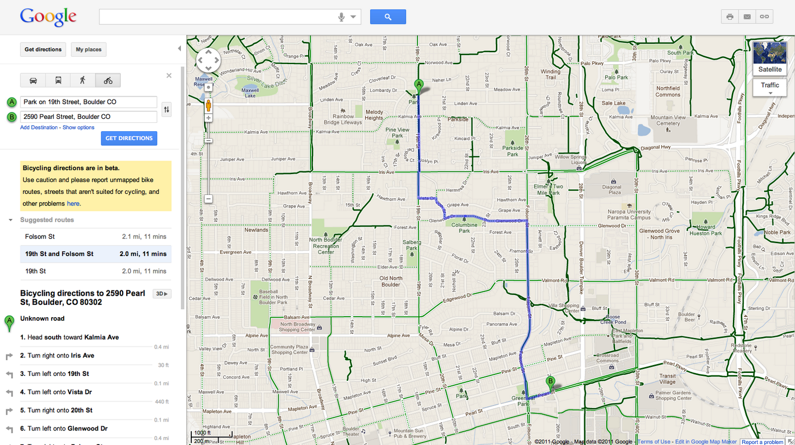
As an avid cyclist, I feel very fortunate to live in Boulder, Colorado and be surrounded by over 300 miles of bike lanes, routes and paths. When the weather is cooperating, I try to commute to work every day. It’s a great way to stay healthy and arrive at the office feeling awake! According to
Biking Directions in Google Maps
, it takes me 10 minutes to travel 2 miles from Point A (my house) to Point B (the office). It also shows three alternative routes, and I can
check the weather
in Google Maps to see if I’ll need a rain jacket for the ride home. I can also use Biking Directions on my mobile phone, which came in handy for me during a biking trip in Austin when I got lost on a major highway and needed a
safe route
back to the hotel.
Did you know that Google Maps has biking directions available in over 200 US cities and in 9 Canadian regions? A collaboration with
Rails to Trails
, an organization that converts old railroad tracks into bike paths, has made information about over 12,000 miles of bike paths available to Google Maps users.
Taking public transit
Millions of people use Google Transit every week, viewing public transit routes on both Google Maps and Google Maps for mobile in over
470 cities
around the world. You can
take a train from Kyoto to Osaka
or
find your way around London on the Tube
. In some places, you can compare the cost of taking public transit and driving by viewing the calculation below the list of directions (like in
this
example). Feel free to customize your routes and departure and arrival times under “Show options” to minimize walking or limit the number of transfers. You’ll know if your bus is late by checking out
live transit updates
.
Being green in the car
According to the
2011 Urban Mobility Report
by Texas Transportation Institute at Texas A&M University, motorists wasted 1.9 billion gallons of fuel last year in the US because of traffic congestion, costing the average commuter an additional $713 in commuting costs. You can save time and money by clicking on the Traffic layer in the top right corner to view real-time traffic conditions on your route, and then drag and adjust your route to green. If you need directions in advance, save paper by sending your directions directly to your car, GPS, or phone. The Send-to-Car feature is available to more than 20 car brands worldwide, and the Send-to-GPS feature is available to more than 10 GPS brands. And for those of you who drive electric vehicles, you can
search for electric vehicle charging stations
by typing “ev charging station in [your city]” and recharge.
As you can see,
Google Maps
is loaded with features to help you save time, save money, and get where you need to be -- all while minimizing your commute’s impact on the environment. Go green with Google Maps, and safe travels!
Posted by Tasha Danko, Geo Team
One step closer to greening aviation
10/3/11
This past week has been an exciting time in the history of green aviation. Qualifying teams took part in the
2011 Green Flight Challenge
, a competition challenging independent teams to fly their aircraft 200 miles in less than two hours using the energy equivalent of just 1 gallon of gas per occupant. As we
previously announced
, we’re sponsoring the Exposition being held today, hosted by NASA at Moffett Field in Mountain View, where the competing aircraft are on display.
At the CAFE Flight Test Center at Santa Rosa airport, several teams participated in a
series of flight tests
to determine
miles per gallon equivalent
(MPGe), speed, noise, and take off ability. The
teams
-- e-Genius, ERAU, Pipstrel-USA and Phoenix -- were all vying for the $1.3 million prize purse from NASA. Check out scenes from day 2 of the challenge:
The awards ceremony just finished and we’re excited to announce the winners. The all-electric Taurus G4 Pipestrel aircraft took home first place, achieving an amazing 403.5 MPGe. The e-Genius team came in second place at 375.8 MPGe, but came out on top for the noise test, winning the Lindberg prize for the quietest aircraft.
All of the planes were five to ten times more efficient than standard aircraft. We’ve come a long way from Kitty Hawk! And we’re excited to be part of this next frontier in aviation.
Posted by Alec Proudfoot, Project Manager and Aviation Enthusiast, Google
Archive
2016
Sep
Aug
Jul
Jun
Apr
Feb
2015
Dec
Nov
Oct
Sep
Aug
Jul
Feb
2014
Dec
Nov
Sep
Aug
Jul
Jun
May
Apr
Jan
2013
Nov
Oct
Sep
Aug
Jul
Jun
May
Apr
Mar
Jan
2012
Dec
Nov
Oct
Sep
Jul
Jun
May
Apr
Mar
Jan
2011
Dec
Oct
Sep
Aug
Jul
Jun
May
Apr
Mar
Feb
Jan
2010
Dec
Nov
Oct
Aug
Jul
May
Apr
Mar
Feb
Jan
2009
Dec
Nov
Oct
Aug
Jul
Jun
May
Apr
Mar
Feb
Jan
2008
Dec
Nov
Oct
Sep
Aug
Jul
Jun
May
Apr
Mar
Jan
2007
Dec
Nov
Oct
Sep
Aug
Jun
2006
Nov
Oct
Feed
Google
on
Follow @google
Follow
More Google Green
Google Green site
Google Data Centers site


 Follow